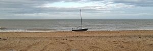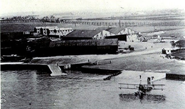
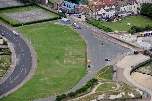
Aerial photos by Westgate pilot Simon Moores reveal the shadow of a First World War seaplane hangar evident in the grass at St Mildred’s in Westgate.
The shadow, thought to be more visible due to the recent heat ‘baking’ the ground, is a remnant of the Royal Naval Air Station at St Mildred’s Bay, which was opened in June 1914 and was used by sea planes during the Great War.
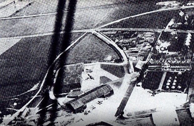
With the growing threat of air raids during the latter half of 1914 a decision was made to create an airfield on the cliffs above the seaplane base.
The base became operational in April 1915 and people on the beach below could see the craft taking off.
But landing on the cliffs proved dangerous and Westgate was not suitable for night time flying, which was axed after the death of one pilot.
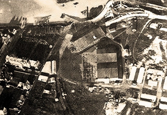
The importance of night flights during the conflict prompted the introduction of a landing strip at Manston in 1916. Initially planes would take off from Westgate but land at Manston.
But in March 1916 a pilot died during his attempt to land. The following month hangars were destroyed during a severe gale.
From May 1916 Manston became fully operational as a satellite station to RNAS Westgate and Westgate operated only as a seaplane base from that date.
The shadow of the old WW1 seaplane hangar on the grass is even more visible this weekend pic.twitter.com/WH5C6FBa9j
— Simon Moores (@SimonMoores) August 19, 2018
The seaplanes ran regular patrols in the Channel and Thames Estuary looking for U-boats and carried with them pigeons which could be despatched back to base should the plane have to ditch in the sea due to engine failure.
When the RAF was formed on April 1, 1918 by the amalgamation of RNAS and RFC (Royal Flying Corp) Westgate RNAS became 219 Squadron RAF.
By the end of the war 200 personnel were based at Westgate, including local men and a contingent of WRNS (Women’s Royal Navy Service). Seaplanes continued to conduct mine patrols until July 1919 when operations ceased.
The site of the airfield was returned to its civilian owners in the early 1920s and it was then developed.
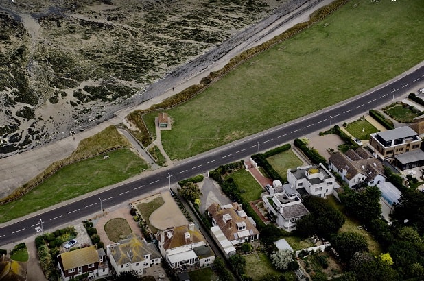
The third aerial photo from Simon Moores shows zig zag trench lines on cliffs between Birchington and Minnis Bay. These are likely from Second World War coastal defences when the beaches were out of bounds to local people and soldiers were billeted along the sea front to defend against an invasion.
Source for Seaplane information ‘Wings over Westgate’ by Geoffrey Williams and Kent WWI website.
